01
Pick.
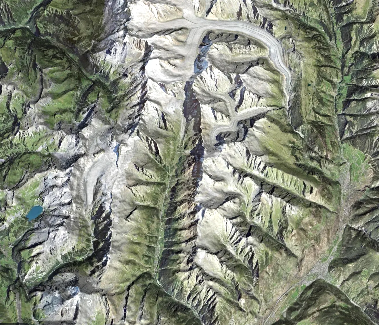
Drag a box anywhere on Earth.


3D environments, game-ready assets, simulation worlds, architectural context and editable 3D models.
Pick any spot on Earth. Get it in 3D, ready for the tools you already use.
Join Early AccessExports straight into
















149,000,000
km² of Earth you can build on today.
28
official aerial imagery sources
8 cm
per pixel, at its sharpest
36
kinds of ground AI recognizes
16
map layers, ready as masks
70+
nodes to shape it all
Drag to turn. Point at a filled area to see its source.
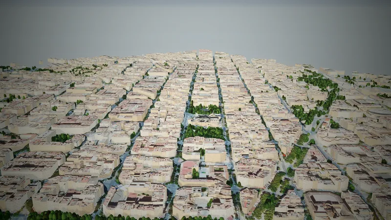
149 million km² of land. Aerial imagery up to 8 cm per pixel.
From a dot on the map to a 3D world in three steps. No GIS skills needed.
01
Drag a box anywhere on Earth.
02
Terrain, aerial imagery and map layers, built in 3D at true scale.
03
Every river, road and forest is already a mask. Wire up nodes. Every edit, live.
Height, aerial imagery, AI land cover and map data are all inputs. Wire them together like Unreal's material editor. Every edit, live.
Seven graphs, out of endless combinations. Yours will look nothing like them.
Rain erosion carves channels and lays down sediment.
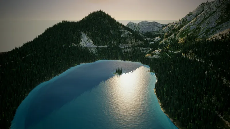
AI finds the water, a blur softens its shore, the mask sinks the ground into a lake bed.
The aerial photo split into land cover classes, each a mask you can wire.
The forest mask shifts hue to autumn; slope and height lay fresh snow.
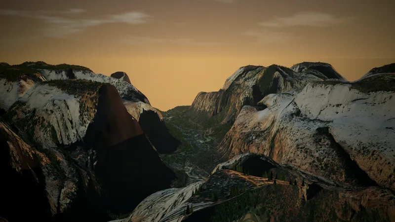
Zion's domes, flattened into mesas.
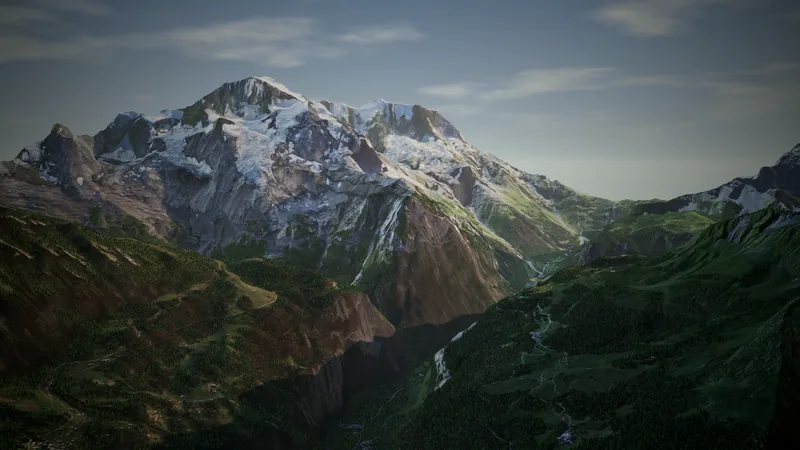
Multiply the ground height and the mountain grows ×1.8.
Voronoi noise, masked to rock, adds procedural detail.
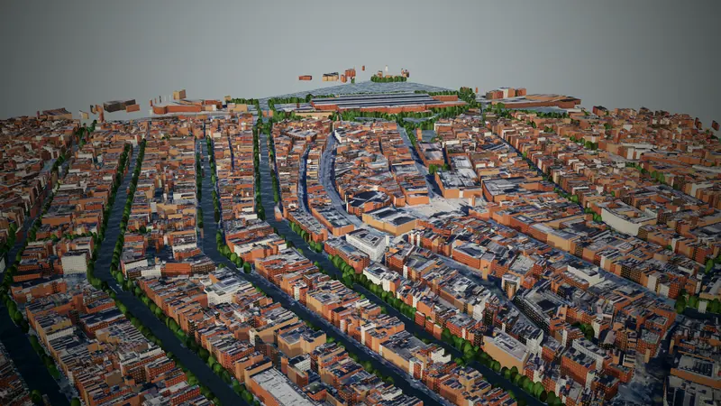
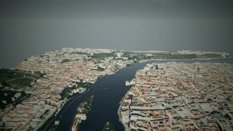
A native Unreal plugin, a desktop app, a CLI and open formats. Everything comes from the same .land project.
Game engines
Unreal Engine Godot O3DE 3D & DCC
Houdini Cinema 4D Terrain tools
World Creator Viz & AEC
Twinmotion SketchUp Rhino Web & 3D viewers
Three.js Babylon.js PlayCanvas model-viewer Sketchfab Simulation
CARLA and more
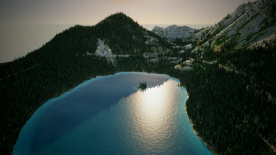
Landscape, paint layers and water masks land in Unreal in one click. Re-shape in Landmeld, the level updates.
Learn more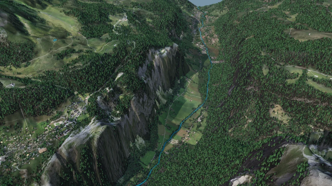
Pick, generate, shape and export in one window. Works offline once a place is downloaded.
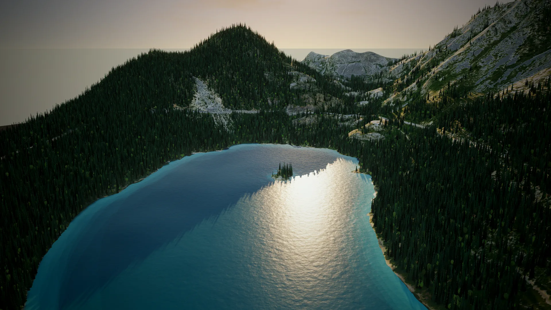
# Download Emerald Bay with its map datalandmeld-cli --center-lat 38.95 --center-lon -120.11 --width-m 4000 --height-m 3500 --map water,land --output emerald_bay.land# Re-shape it, export tiled GLBlandmeld-cli --open emerald_bay.land --surface winter.json --output emerald_bay.glbBatch whole regions from a script and plug Landmeld into your build pipeline.
16-bit heightmaps sized for Landscape, split into World Partition tiles, with the import steps written.
Request any place on Earth as terrain from your own tools.
Meshes
Heightmaps
Textures & masks
Web & GIS
Simulation & AEC
Project
Tiled at true scale, georeferenced, up to whole regions.
One app, from solo creators to whole studios.
Coming soon
For solo creators.
Coming soon
Shared projects, multiple seats.
Coming soon
For large productions.
Early access opens in waves. Grab your spot.
The ground follows 30 m elevation data, so mountains, valleys and coastlines are where they really are, but small steps like a riverbank or a single building are not in the height. The fine detail comes from the aerial imagery and from what you add with nodes.
Each imagery source has its own licence. Most are open data (CC BY 4.0 or public domain) that allow commercial use with attribution; point at a pin on the globe above to see each one. Landmeld's own terms come with the plans.
Only to download a place. After that, generating, shaping and exporting all run on your own machine.
Windows, macOS and Linux.
Early access opens in waves, so join the list above. Prices will be announced before launch.