

Behind the render: Emerald Bay
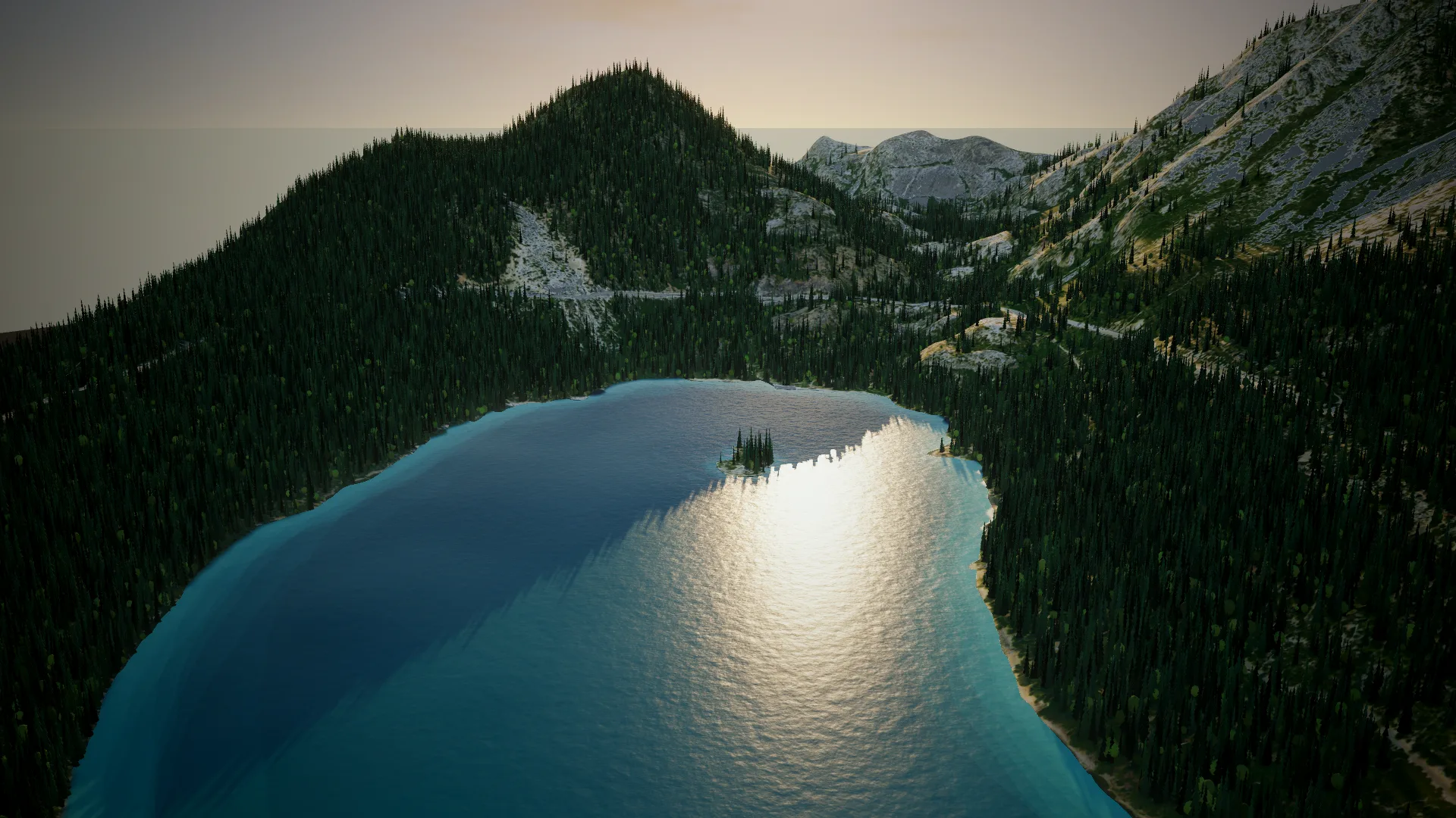
Emerald Bay sits on the southwest shore of Lake Tahoe in California, with Fannette Island in the middle of it. It is the first place the globe dives into on our homepage. This is how that shot was made.
1. Download the place
One landmeld-cli command downloads a 4 × 3.5 km area around the bay into a project, with USDA NAIP aerials at 60 cm, a 10 m mesh and all the Overture map data.
landmeld-cli --imagery-pixel-m 0.6 --texel-m 0.6 \
  --center-lon -120.1050 --center-lat 38.9545 --width-m 4000 --height-m 3500 \
  --mesh-spacing-m 10 --height-sampling bicubic \
  --map water,land,land_use,buildings,transportation \
  --output emerald_bay.land
NAIP is the default imagery in the US, so the command needs no imagery flag. The elevation is Copernicus COP30, 30 m data. Bicubic sampling keeps the slopes smooth on the 10 m mesh.
2. Export the looks
From the same project, one surface graph per look is exported as a GLB, with no network connection: the hero look, the real aerial, and the map and terrain masks the renderer reads. The script example in the docs is the same loop.
3. Render it
The shot is rendered from the GLB in a small Three.js scene of ours, not in the Landmeld app. On top of the export it adds a sky, fog and low mist, reflective water from the water mask, and instanced conifers from a tree mask, up to 160,000 of them.
The loop is 96 frames at 24 fps: four seconds of a slow orbit over the bay.
What is Landmeld and what is the render
The ground, its shape and its texture are the Landmeld export. The trees, water and sky come from the renderer, the way a game engine would add them.