

Introducing Landmeld
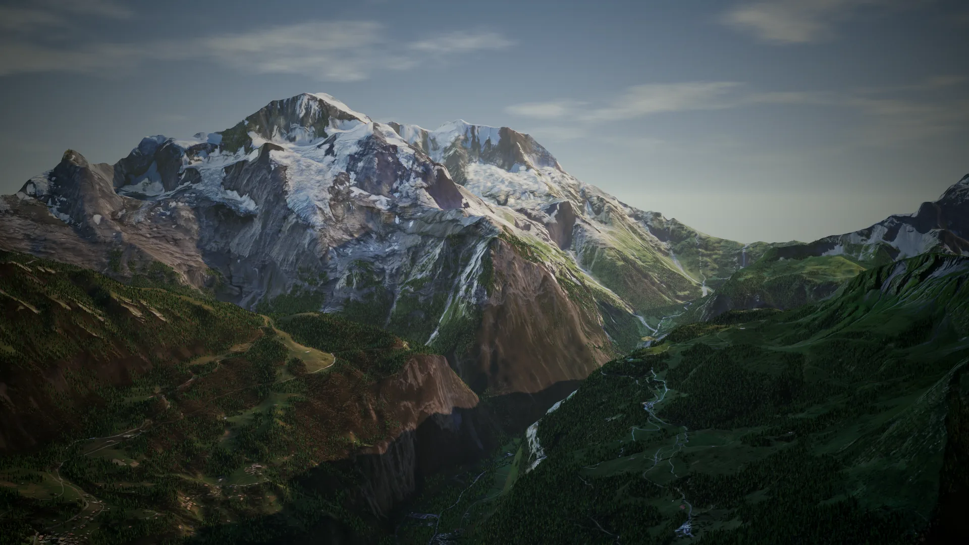
Landmeld turns a real place into terrain. You pick an area anywhere on Earth, Landmeld downloads its elevation, aerial imagery and map data, and you get a mesh you can shape and export.
Pick, generate, shape, export
Elevation comes from the Copernicus DEM. The texture comes from aerial imagery, with national sources such as swisstopo SWISSIMAGE, PDOK and DGT where they exist. Water, land use, buildings and roads come from Overture Maps.
Everything is saved in one .land project. Open it again without a network connection and export it as often as you like.
Into your engine
Today Landmeld exports textured GLB tiles and 16-bit heightmaps sized for Unreal Engine Landscape, with the import steps written next to them. The docs explain both.
What comes next
Early access opens in waves. Join the list and we will tell you when it is your turn.