

Shape it with nodes: erosion, water depth, roads
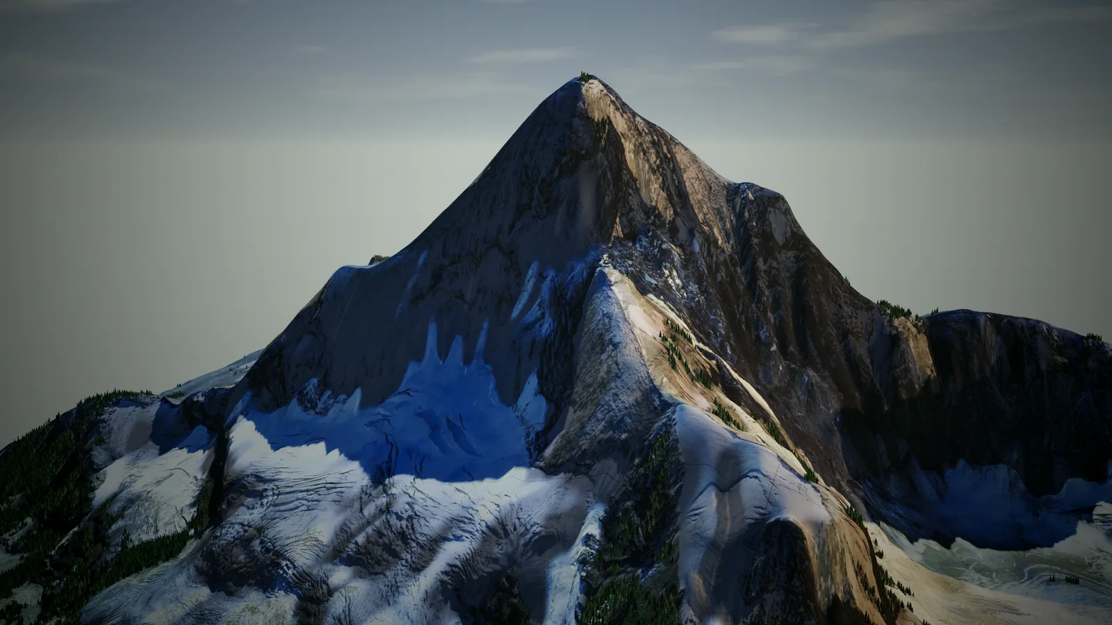
Every place you download in Landmeld comes with masks: water, forest, roads, rock and more. A surface graph wires them into nodes and decides the result. Its Height output shapes the ground; its Color output paints it.
Let the rain carve it
Ground height → Erosion → Height
Rain erosion carves channels and lays down sediment. One node between the ground and the output is enough.
Give the water depth
Land cover (water) → Blur → Multiply → Subtract → Height
The AI land cover finds the water. A blur softens the shore, and the mask, scaled, is subtracted from the ground, so the lake surface sinks into a lake bed.
Clear the roads
Map (road) → Grow → Lerp → Height, with a blurred Ground height as the other input
Road lines from the map data are grown to the road’s width. Where the mask is on, the height blends to a smoothed version of the ground, so the road runs flat.
Two more
Multiply the ground height by 1.8 and the mountain grows. Subtract, clamp and scale it, and Zion’s domes become mesas.
In the app, for now
Erosion, Blur and Grow are Filter nodes, and land cover is computed in the app. Graphs that use them are exported from the desktop app; the command line exports the others.